Teklab Incorporated Blog
How today’s businesses use drones
If your sector uses data collected from a physical space, there’s a good chance drone technology is making an impact. Some of the top sectors investing in unmanned aircraft innovation include:
Construction
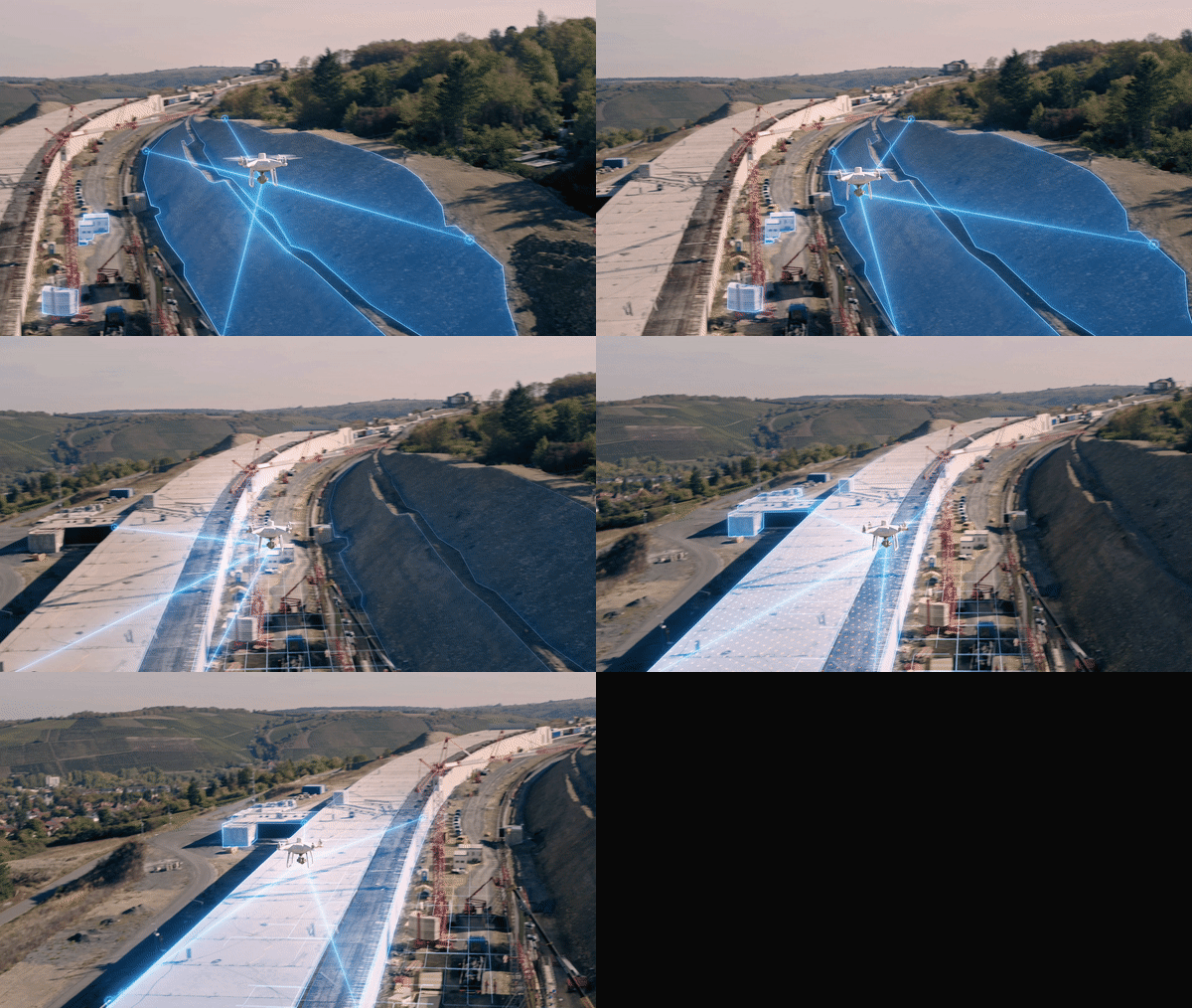
Drone mapping and modeling is helping construction managers make safe, informed decisions. AEC firms can use the technology to make 3D models of projects, gather to-the-centimeter measurements and perform stockpile volume measurements. From pre-planning to supply chain optimization, the results tend to speak for themselves.

Land surveying
For years, surveying professionals relied exclusively on terrestrial methods such as total stations, GPS receivers and ground laser scanners to acquire their spatial data. Each of these techniques is time-consuming and can become costly quickly. Luckily there’s a new way to do land surveying.
With drones like the Matrice 300 RTK, land surveyors can map out even the most challenging terrain faster and more accurately than ever before. Drone deployment eliminates the need for sending surveying crews into hazardous areas and makes it possible to easily collect data from inaccessible features like cell phone towers and treetops.

In addition to cutting down on project times, drone usage can be a boon for a surveyor by offering multiple mapping possibilities — including 2D and 3D orthomosaic maps, LiDAR point clouds, 3D models, thermal maps and multispectral maps. Each of these methods may be valuable depending on the specifics of a surveying job
Real Estate
Realtors are using drones to make accurate 3D models of homes for sale and offer virtual tours. While this technique has been around for a few years, its popularity took off during the COVID-19 pandemic, as it allowed prospective renters and buyers to view a property from a safe distance.
Insurance
To provide accurate valuations of properties, insurers need to gather as much information as possible. Drones can help make inspections easier and more time-effective. According to Deloitte, insurance companies will now often rely on a single generalist contractor to handle these inspections due to the large amount of data that can be gathered from a drone. In the past, multiple specialists may have been needed for the role. Factors that insurers look for in these inspections include existing damage and potential risk to a natural disaster like flooding.
In addition to initial evaluations, insurers use drones to assess property damage and even root out fraudulent claims. In some cases, a single drone flight path may be enough to gather all the images needed for an evaluation.


